lifestyle
Glasgow's Neighborhoods Reveal Distinct Character Across West End to Southside
Navigating the city from the West End to the Southside requires more than just a map; it demands an appreciation for the shifting rhythms of our local streets.
How we reported this
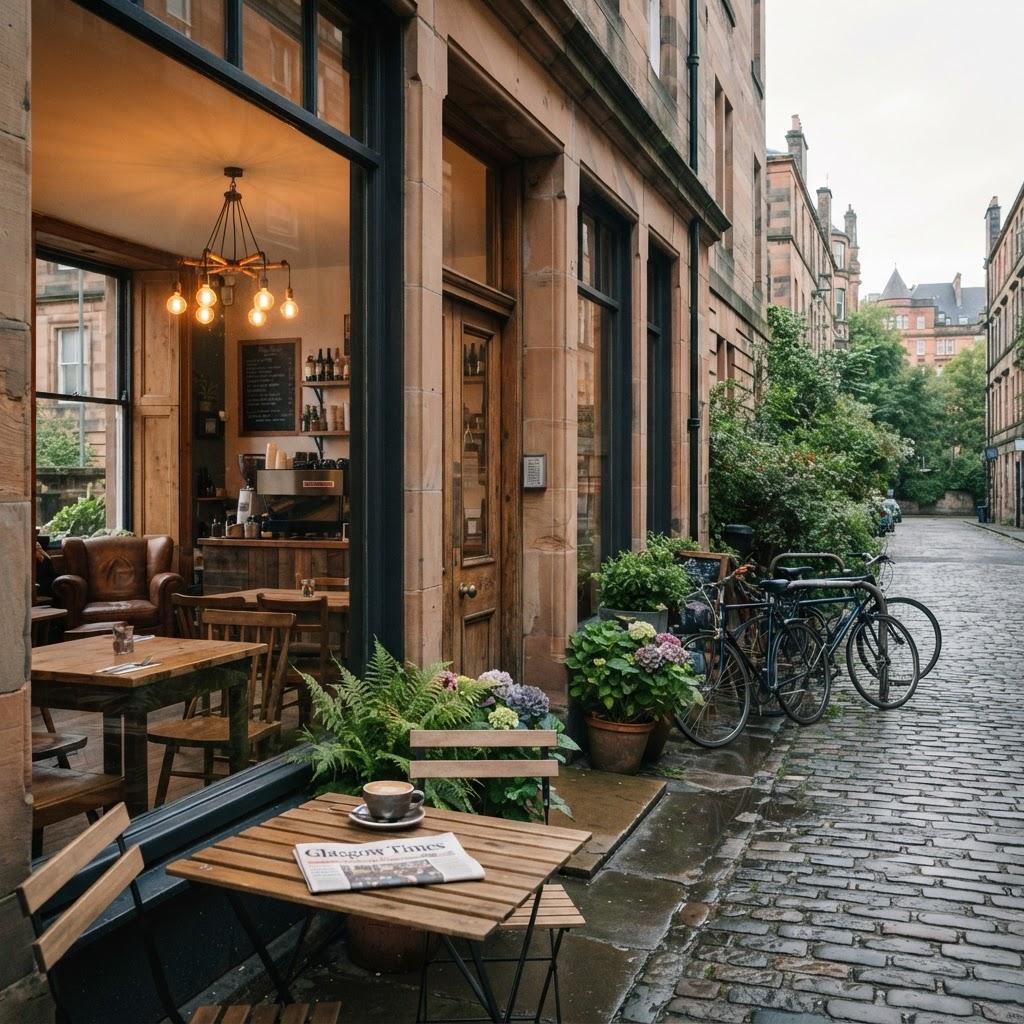
Glasgow’s transit network serves as the connective tissue for its distinct village-like neighbourhoods, moving thousands of residents daily between the sandstone tenements of the West End and the historic lanes of the Southside. For the regular commuter, the journey is defined by the reliable hum of the Subway, affectionately known as the Clockwork Orange, which continues to anchor the daily routine of city life.
The rhythm of the rails and lanes
Stepping off at Hillhead Station places passengers directly into the intellectual heart of the city, where the proximity to the University of Glasgow fosters a dense, pedestrian-oriented culture. Walking down Byres Road, the street life reveals a specific density of independent bookshops and cafes that have defined the area's reputation for decades. Conversely, crossing the Clyde reveals a different pace in Govanhill. Here, the transit experience shifts toward the extensive bus network managed by First Glasgow, which provides the critical links through Victoria Road and toward the greenery of Queen's Park.
This transit connectivity remains the primary driver for local economic vitality. As the city council continues to integrate active travel schemes, the presence of dedicated cycling lanes along the Kelvin Walkway and the expansion of the OVO Bikes hire scheme have altered how residents access these hubs. Public consultation documents published by Strathclyde Partnership for Transport (SPT) indicate that ridership numbers have shifted as more commuters favour multimodal trips, combining the Subway with short cycling bursts to reach final destinations.
Community access and urban movement
Understanding the character of these areas requires observing the flow of people during peak hours. In the Merchant City, the transit environment is dominated by the proximity to Queen Street Station, where the arrival of regional rail services dictates the ebb and flow of the local shopping and dining scene. Residents living near the Trongate often note that the ease of access to these central rail hubs is a defining factor in property desirability and neighbourhood longevity.
For those looking to traverse the city effectively, the most practical approach involves leveraging the integrated ticketing systems available across the Subway and bus lines. Current travel advice emphasizes that planning ahead through the official Traveline Scotland portal offers the most accurate real-time data for avoiding disruptions. Whether one is navigating the steep inclines toward Garnethill or heading toward the waterfront at Pacific Quay, the city's transport infrastructure is designed to reward those who understand the specific geographic boundaries of each neighbourhood. Residents are encouraged to verify current service updates on the SPT website before departing to ensure smooth passage across the city's diverse landscape.